Community Feature: Sands of Change
- MAR 01, 2017Warning: count(): Parameter must be an array or an object that implements Countable in /home/howlermag/public_html/old/wp-content/themes/new-paper/includes/general.php on line 193
Your Lead Paragrpah goes here
In the early seventies, my brother and I arrived in Tamarindo with single fin, 7 foot, down-railers and homemade bungee cord leashes. When your tail “side slipped” out from under you on a late drop, your board stretched out to the breaking point on the rubber bungee and sliced back at you like a fiberglass filet knife. Often the cord broke, which meant a dicey swim in with the sharks. From the porthole windows of the old DC 3s that landed on the grass airfield in Santa Cruz, the surf breaks looked like chocolate chip cookies–white breaks dotted with dark colored sharks. These old DC 3s, now fallen the way of lumbering dinosaurs, were our major transportation back and forth to San Jose on our many trips for banking and supplies at a time when even the Intercontinental highway was gravel and there were no easy routes to Tamarindo.

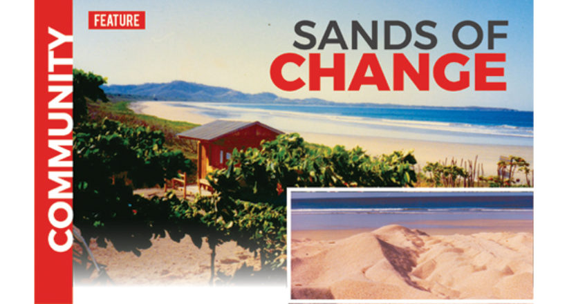
For the last several years I have been noticing the changes in the sand in Playa Grande. Perhaps these changes in the sand structure are connected to the 1978 sand removal in the Tamarindo Estuary mouth by the local developers and the Santa Cruz “Municipalidad”. The mountain of sand was taken to build roads and affected the Tamarindo beachfront almost immediately. At the next big high tide, the water washed away the “blue house” and several other rickety buildings. The Diria lost its expansive beachfront, walls, and hammock ranchos. Dolly’s Cabinas nearly fell into the estuary, which was the beginning of her family’s decades-long doomed struggle to save their livelihood.
Prior to this disappearance of the sand mountain, the giant leatherback turtles nested in Tamarindo on the sweeping dunes. The sand reached all the way out to the rock in front of what we used to call “pico pequeño” on the south side of the estuary mouth.

For surfers, the estuary take-off spot was about 50 meters to the north of the “pico grande” big rock. There was an island next to the rock with a withered tree. The left was accessible by paddling across the estuary to the island and then wading in knee-deep water out on the spit to the top of the horseshoe- shaped bar. There was no right. The gaping curl zippered down the spit opened by the slightly northerly angled Papagayo wind and finished somewhere half way to Playa Grande. Each perfect wave broke in flat turquoise water, swallowing the white water tails almost immediately as the wave was absorbed by the deeper water in the estuary,
The gentle southern current drifted us slowly back to the line-up. We kept our feet up on our boards to avoid tempting the ever-present toothy predators. The etiquette was to take your time and watch your friends and visitors take a turn.
As I watch the dunes here in Playa Grande disappear year after year, along with the demise of the leatherback turtle nesting habitat, I am reminded of the fragility of our marine environment and how dependent we are on it for our lifestyle as surfers.


